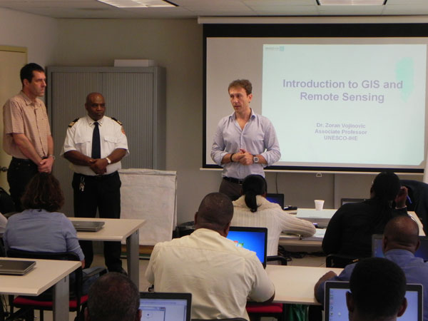
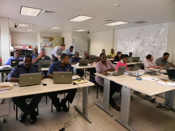
 Great Bay (DCOMM):--- Eighteen persons took part in the GIS and Remote Sensing for Infrastructure Management and Disaster Risk Reduction R3I Regional Risk Reduction Initiative project workshop that was held at the Fire & Ambulance Building in Cay Hill last month. Preparations are underway for part two of the training which will take place in December.
The workshop was organized due to the rapid growth in the use of digital spatial and temporal data in many aspects of disaster management, in such areas as preventive planning, response and recovery.
The aim of the course was to provide both a theoretical understanding and practical hands on introduction to the use of geographic information systems and remote sensing technologies for the analysis and solution of different infrastructure and disaster management problems.
Five of out of the 18 participants came from the Fire Department, two from the Anguilla Department of Disaster Management, one from the British Virgin Islands Department of Disaster Management and 10 from the Ministry of Public Housing, Spatial Development, Environment and Infrastructure.
The basic GIS training course was given by Zoran Vojnovic from UNESCO-IHE in the Netherlands.
 Section Head of Disaster Management Paul Martens, said that the participants were eager to learn and were very enthusiastic.
The R3I emphasises intra-regional learning and sharing of tools, knowledge and best practices to enhance the territories' individual and collective capacities in the British dependencies and Dutch Caribbean.
The R3I covers the Overseas Countries and Territories (OCTs) of Great Britain and The Netherlands. It has been considered that the islands are highly vulnerable to various natural hazards and climate change impacts, also having fragile ecosystems and concentrations of settlements and major functions in low lying coastal areas and other hazard prone locations.
This project seeks to address the risk and exposure of these small islands by providing a network of regional infrastructure, programmes, policies and protocols to strengthen their capacity to predict and prepare for natural hazards, thus improving resilience and reducing risk and subsequent loss.
The R3I is being funded by the European Commission to the tune of 4.9 million Euros covering a period of three years (2009-2011). Project management is being carried out by the United Nations Development Program (UNDP) Barbados.


